Friday, September 28, 2012

Hennepin Feeder Canal Fall Colors 9-28-12

Today we rode just 8 miles, from home to Buell Road and back. It was a beautiful day, temperature just right and the sun shining in a beautiful blue sky. I decided I needed to shoot some pictures as the trees are just starting to turn, in a couple of weeks the whole canal will be a riot of colors.

First off was this turtle basking in the sun,He didn't even move when I stopped to take his picture, the sun must have felt so good he didn't care. Usually they dive as soon as you get near.

The rest of these pictures do not need a caption, just enjoy and imagine how they will look in a few weeks!


Friday, September 21, 2012

9-16-12 Ride the Hennepin Canal The last leg.

On Sunday 9-16-12 we headed out to ride the last leg of our journey on the Hennepin Canal, from the Steel Dam and Lock 30 at Milan to the Mississippi River and Lock 32. This was one of the shortest sections on the canal. The canal ends temporarily at Lock 29 on the Rock River, but starts again about 9 miles down the Rock River at Lock 30.

Lock 30 access to the Rock River to the east

Looking east through Lock 30 to the east, this year has been dry so the water level is VERY low in this lock.

This is a satellite view of Lock 30 in normal times


Lock 30 looking west on the channel.


The frame work of the old Steel Dam at Lock 30

Close up of the gears and winch of the Steel Dam at Lock 30

The gate of the Steel Dam at Lock 30

The Dam north of Lock 30 on the Rock River
The Bike Path just west of Lock 30

Coming up on US 67 Bridge


The view looking east under the US 67 Bridge

Just west of the US 67 Bridge is the remains of a Rail Road swing bridge


Just west of that old Rail Road bridge base is another earthen abutment where the present day Rail Road tracks run


South of Lock 31, where a reverse siphon takes the canal water underground for a short distance.

Where the water re-emerges a short distance later


Old bridge abutments east of Lock 31

Lock 31 looking east through the lock

The view looking west through Lock 31

 The canal looking west from Lock 31, fishermen utilize the canal almost daily. We rarely ride without seeing at least one fisherman and the fish seem to always be biting.
Lock 31 walk way bridge


North of Lock 31, where the water again goes underground for a short distance under a levee. 

To again re-emerge a short distance later, in this part of the canal there are more of these reverse siphons than anywhere along the canal due to the levee system. This is where we leave the canal for about a mile or so and travel along a short distance from the canal.

Looking east from the IL Rte 92 Bridge where we again join up with the canal

West of IL Rte 92 Bridge

 
Looking east through Lock 32, the last Lock on the Hennepin Canal


The upper retaining wall of Lock 32, in normal times this holds water back to keep the water levels higher east of here

Another view of the retaining wall

The west end of Lock 32, with the Mississippi in the background.


This satellite picture shows what normal water levels are at Lock 32

The breakwater wall at the end of the lock shows how low the water is now, the beach in the background should all be under water. 
The Mississippi is in the distance instead of right up to it.

Looking east from the down stream end of the lock, again this area should be under water.


Closeup of the breakwater wall.

Just to the left as I face east at the end of the lock is the Rock River flowing into the Mississippi.

Here Judy and I are at the end of the Hennepin Canal, we rode the entire canal, all of it twice because we had to park the car and ride to a point and then turn around and ride back to the car. Some sections we have ridden multiple times, such as from the Guard Lock at the Rock River in Rock Falls to Riverdale Road south of Rock Falls. We ride the canal almost every day at least a 8 mile round trip. Now we have to concentrate on the Great Mississippi River trail that goes from the Illinois/Wisconsin Boarder to Cairo, IL. But that's another story. 


Sunday, September 16, 2012

Ride on the Hennepin Canal 9-9-12

Sunday September 9 we drove to Geneseo and got on the Hennepin Canal and rode west, our goal the Rock River in Colona, IL.  We rode west and soon came to Aqueduct 7.


Bridge 37 our starting point at St Rte 82 south of Geneseo, IL


Aqueduct 7 looking east

Aqueduct 7 looking south


Aqueduct 7 looking north


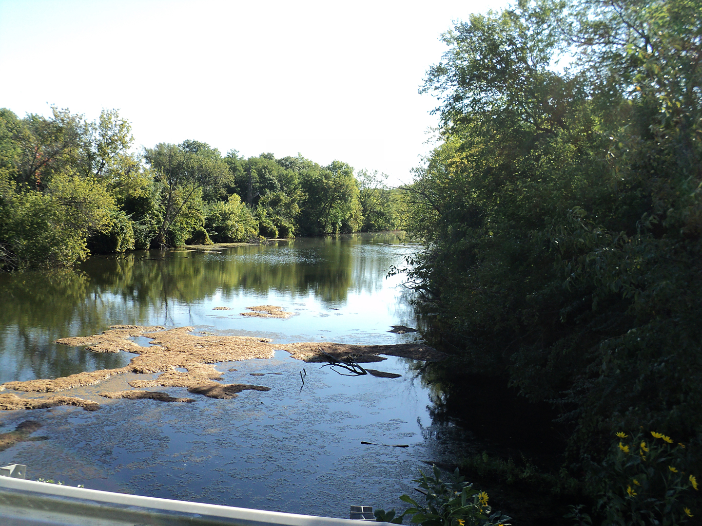
 Aqueduct 7 looking west

Lilly pad area just west of Aqueduct 7


Coming up on Bridge 38

Looking east from Bridge 38

Double Click on this picture to see the moss flowing with the water.

                                                       Looking west from Bridge 38

 Looking east from Bridge 39


Looking west from Bridge 39

 Coming up on Lock 25 from the east.

 Looking through Lock 25 to the west.

 Looking west from Lock 25

Upstream spillway Lock 25.

 Bridge 40A looking east.

 Bridge 40A looking west at Lock 26 and Lift Bridge 40.

 Looking east through Lock 26 from Lift Bridge 40.
Lock 26 and Lift Bridge 40.

Coming up on location of former Aqueduct 8, which no longer exists.

 Retaining wall at upstream end of Aqueduct 8, where the aqueduct originally started.
Judy is walking her bike across the wall in this picture.

Up stream Reverse siphon Intake at Aqueduct 8 to transport water to other 
side of the Green River, looking east.

Modern Bridge to cross the Green River, looking east.

 Up Stream Gate area of lock 27, where reverse siphon water re-enters the canal.

Looking west through Lock 27.


Here is a satellite view of Lock 27 and location of Aqueduct 8 location, double click picture for detail view.


Just west of Lock 27.

The path is washed out just past Lock 27 from when the Green River had a major flood a few years ago, there isn't any money to repair the path at this time, but Bikers and Hikers have created a off road path around the wash out, which is rough but passable. The Canal trail is supposed to be closed west of Lift Bridge 40, but today, (9-9-12 Sunday) there were at least 50 Hiker/Bike riders using this section of the path. Including 4 Bike Riders with Trailers behind their bikes, they must be doing over-night camping as they ride the canal. They were able to transverse this wash-out and a huge fallen Cottonwood tree completely across the path a few miles east, which has been down for some time.

Bridge 41 looking east.

Bridge 41 looking west.

Bridge 41  A ( Interstates 80 & 74) looking east.

Bridge 41  A ( Interstates 80 & 74) looking west, where the water re-enter the canal from a reverse siphon under the Interstate.

Lock 28 looking east.

Lock 28 looking west at RR Bridge #5.


Rail Road Bridge 5 (Chicago, Rock Island & Pacific RR)
coming up on from the east in Colona,IL

Rail Road Bridge 5 looking west.


Rail Road Bridge #6 (Chicago, Burlington & Quincy RR) coming upon it from the east.

 Rail Road Bridge #6 looking east.

 Rail Road Bridge #6 looking west.

Bridge 42 looking east.

Bridge 42 looking west.

Bridge 42 A looking east.

Bridge 42 A looking west.

Nearing the end of today's ride with Lock 29 coming up.

 Looking through the lock to the east.

 Looking west from Lock 29 at the Rock River, from here barges were to navigate down stream about 9 miles on the Rock River, which was deep enough at this point for navigation, to the Iron Dam at Milan, where they would re-enter the canal for the last 5 miles to the Mississippi River, below the Iron Dam the  Rock River  was too shallow for navigation. That is where we will pick up our journey next Sunday.